
HomeWest Linn
West Linn, Clackamas County
French drains and hillside drainage in West Linn, Oregon
West Linn calls itself the "City of Hills, Trees and Rivers." It sits between the Willamette and Tualatin rivers, on slopes that DOGAMI has mapped for landslide hazard, neighborhood by neighborhood.
A person answers and connects you with an independent, CCB-licensed drainage contractor serving Milwaukie, Happy Valley, West Linn, Tualatin, Lake Oswego, Oregon City and Wilsonville.
Illustrative photo
- 11Neighborhood associations recognized by the city.
- 3DOGAMI landslide map sets (quadrangles) covering parts of West Linn.
- 26,400 cfsHighest Tualatin River flow on record, at the West Linn gauge, Feb. 10, 1996.
Hills, and what runs off them
The city's landslide maps page lists which neighborhoods fall on which DOGAMI map:1
- Lake Oswego quadrangle: Hidden Springs, Marylhurst, Skyline Ridge, Robinwood and northwest Bolton.
- Canby quadrangle: Willamette, southern Hidden Springs, Rosemont Summit, Parker Crest, Savanna Oaks, Barrington Heights and West Sunset.
- Oregon City quadrangle: Bolton and East Sunset.
DOGAMI's 2024 multi-hazard report for Clackamas County names West Linn among the communities where landslide hazards are present, and identifies flooding as a very high-risk hazard for some communities, West Linn included.2
Why that matters for a yard: DOGAMI says that in an urban setting, improper drainage is most often the factor when a landslide occurs.3 Roof water let out onto a slope, a drain line that quietly clogged, or a new patio that sends runoff somewhere new can all change how a hillside behaves. On a steep or mapped lot, drainage work should be planned with that in mind, sometimes with a geotechnical engineer involved.

Two rivers
West Linn lies between the Willamette and Tualatin rivers.4 The Tualatin's highest recorded flow, 26,400 cubic feet per second, was measured at the West Linn gauge on February 10, 1996.5 River flooding is a matter for floodplain rules, not yard drains, but the rivers help explain why low ground near them can stay wet.
If you have a private stormwater facility
Some lots have private catch basins, manholes, filter systems or rain gardens. West Linn asks whoever is responsible for one to sign a maintenance agreement with the city and keep it working so it does not cause flooding or damage to other property.6 If something on your lot has stopped draining, that is a good reason to have it looked at.
Work that fits West Linn lots
- Curtain drains to catch water moving downhill before it reaches the house.
- Tightlined downspouts, meaning solid pipe to a safe outlet, instead of extensions that empty onto the hillside.
- French drains along foundations and behind retaining walls.
- Checking and clearing existing drain lines and catch basins.
Neighborhoods
- Barrington Heights, Hidden Creek Estates & Tanner Woods (BHT)
- Bolton
- Hidden Springs
- Marylhurst
- Parker Crest
- Robinwood
- Rosemont Summit
- Savanna Oaks
- Skyline Ridge
- Sunset
- Willamette
Those are West Linn's eleven neighborhood associations.7
Sources for local facts
- City of West Linn, Landslide maps
- DOGAMI Open-File Report O-24-07, Clackamas County multi-hazard risk report
- DOGAMI, Landslide hazards in Oregon
- Wikipedia, West Linn, Oregon
- Wikipedia, Tualatin River (discharge)
- City of West Linn, Private stormwater facility program
- City of West Linn, Neighborhood associations
Services in West Linn
Drainage work for West Linn homes
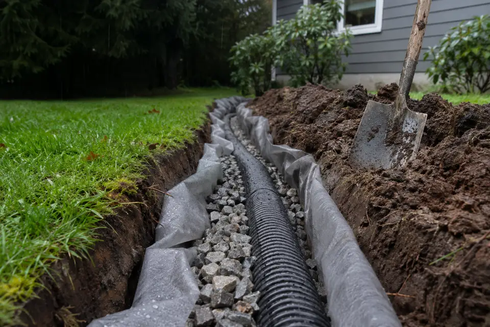
French drain installation
Gravel-and-pipe trenches that collect water from wet soil and carry it to a safe outlet.
French drains service page →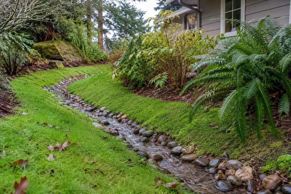
Yard drainage
Standing water and soggy lawns: regrading, swales and yard drains.
Yard drainage service page →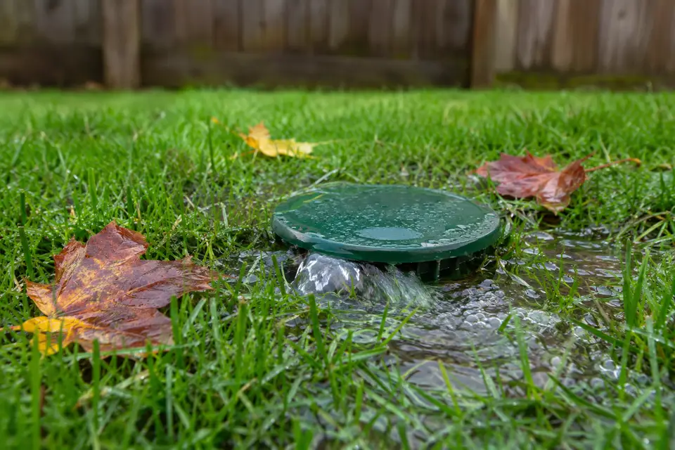
Downspout drainage
Extensions, buried downspout lines and dry wells that keep roof water away from the house.
Downspout drainage service page →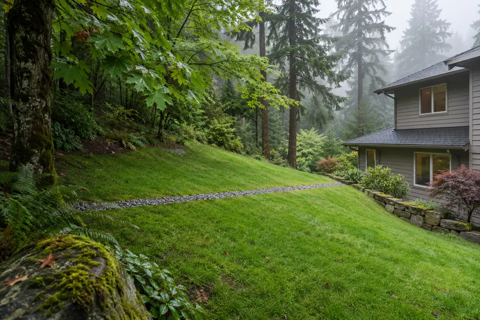
Curtain drains
Trenches across a slope that catch water coming downhill before it reaches the house.
Curtain drains service page →


