
HomeOregon City
Oregon City, Clackamas County
Hillside and yard drainage in Oregon City, Oregon
Oregon City climbs from the Willamette up a bluff, with ravines running down to Newell Creek on its eastern edge.1 The city itself lists roof downspouts and irrigation that pour water onto a slope among the common triggers of landslides here,4 so where the water goes matters.
A person answers and connects you with an independent, CCB-licensed drainage contractor serving Milwaukie, Happy Valley, West Linn, Tualatin, Lake Oswego, Oregon City and Wilsonville.
Illustrative photo
- 44.8 in.Average yearly precipitation at Oregon City's NOAA weather station, 1991 to 2020.3
- 11.92 sq miCity area, drained by Abernethy Creek, Beaver Creek and two rivers.1
- 12Neighborhood associations recognized by the city.8
A bluff, creeks and two rivers
The city's stormwater master plan describes a significant bluff running alongside the Willamette, with moderate slopes above it up to a high point near Linn Avenue and Warner Parrott Road. The eastern edge of the city has numerous steep slopes and ravines that drain to Newell Creek, a tributary of Abernethy Creek. In all, the city's 11.92 square miles drain to Abernethy Creek, Beaver Creek, the Clackamas River and the Willamette.1
The town is divided into a lower area, on a bench beside the river, and an upper area on a bluff of Canemah basalt. The town built the first Municipal Elevator between the two in 1915.2

Soil and rain
Using NRCS soil survey data, the same plan says Oregon City generally has type C soils, with pockets of A, B and D. The scale runs from A, where water soaks in fast and little runs off, to D, where water soaks in slowly and most of it runs off, so type C sits toward the slow end. The most common soil in the city is Bornstedt silt loam on 0 to 8 percent slopes, at about 29 percent of the land. The plan singles out Newell Canyon for highly erodible soils on its slopes.1
NOAA's 1991 to 2020 normals for the Oregon City weather station average 44.81 inches of precipitation a year. December is the wettest month at 7.20 inches, and July the driest at half an inch.3
Slopes and landslide hazard
The city's geologic hazards page says northwest Clackamas County is more susceptible to landslides than many other places in the Portland metro area. It lists common triggers: grading or removing material from the bottom of a slope, adding weight to the top of one, and concentrating water onto a slope, for example from landscape irrigation, roof downspouts or broken water and sewer lines.4 DOGAMI's 2024 multi-hazard report for Clackamas County names Oregon City among the communities where landslide hazards are present, and identifies flooding as a very high-risk hazard for some communities, Oregon City included.5
You can check your own address. The city's online map viewer, OCWebMaps, has a "Hazards and Flood Info" layer that shows steep slopes and landslide areas.4
Oregon City's geologic hazards rules, briefly
The city's official geologic hazards map was adopted in 2010 and updated with revised landslide and slope data in January 2024.6 Chapter 17.44 of the city code applies to building and land development that needs a city permit on property with land inside that mapped overlay zone. It exempts small excavations, under two feet deep or under 25 cubic yards. For work it does cover, grading and drainage work is limited to May 1 through October 31 unless the City Engineer allows a short extension. A geotechnical report has to look at any infiltration facility that could affect nearby slopes steeper than 10 percent, and infiltration is not allowed in areas steeper than 25 percent.7
If your lot is steep or inside the overlay zone, ask whether the work needs a geotechnical engineer or a city permit. The contractor should check with the city and tell you before anyone digs.
Work that fits Oregon City lots
- Buried downspout lines that carry roof water in solid pipe to a safe outlet, instead of letting it out onto a slope.
- Curtain drains above houses that sit below a slope.
- French drains for lawns and foundation edges that stay wet.
- Regrading and swales where a yard tips toward the house.
Neighborhoods
All 12 of the city's neighborhood associations are in the service area:8
- Canemah
- Caufield
- Elyville
- Gaffney Lane
- Hazel Grove-Westling Farm
- Hillendale
- McLoughlin
- Park Place
- Rivercrest
- South End
- Tower Vista
- Two Rivers
Canemah is a narrow strip of land between the Willamette and a bluff.2
Sources for local facts
- City of Oregon City, Stormwater Master Plan (2020, PDF)
- Wikipedia, Oregon City, Oregon
- NOAA NCEI, 1991-2020 monthly precipitation normals, Oregon City station USC00356334 (CSV)
- City of Oregon City, Geologic hazards
- DOGAMI Open-File Report O-24-07, Clackamas County multi-hazard risk report
- City of Oregon City, Geologic hazards map
- City of Oregon City, Municipal Code Chapter 17.44, Geologic Hazards (adopted July 21, 2021, PDF)
- City of Oregon City, Neighborhood associations
Services in Oregon City
Drainage work for Oregon City homes
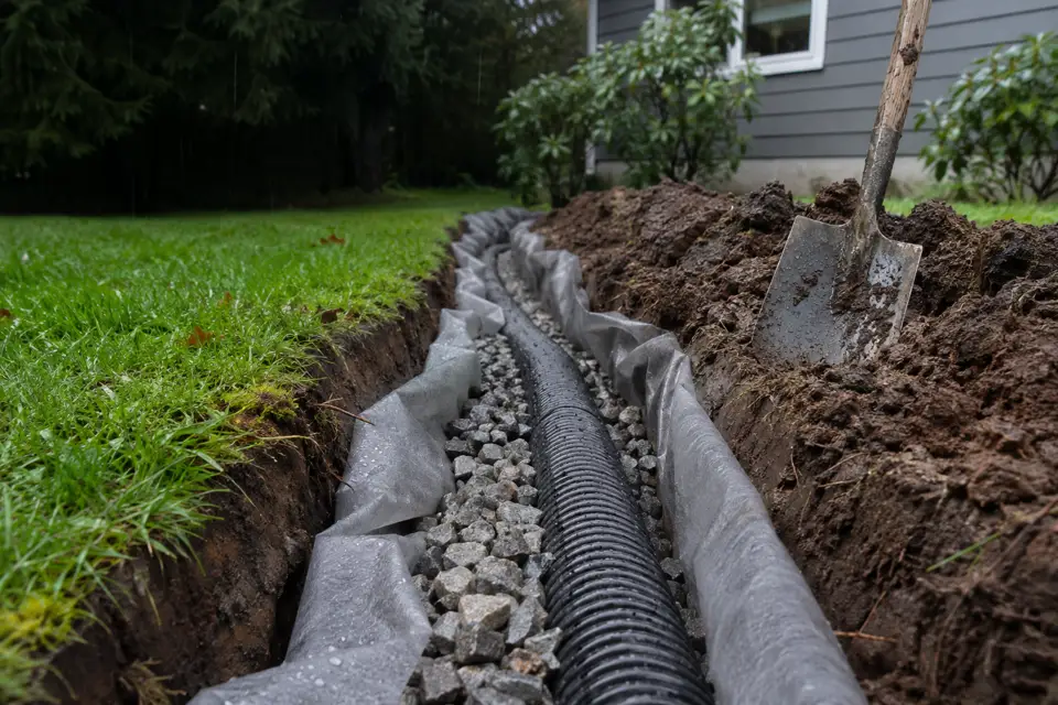
French drain installation
Gravel-and-pipe trenches that collect water from wet soil and carry it to a safe outlet.
French drains service page →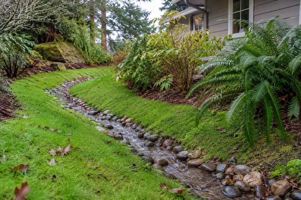
Yard drainage
Standing water and soggy lawns: regrading, swales and yard drains.
Yard drainage service page →
Downspout drainage
Extensions, buried downspout lines and dry wells that keep roof water away from the house.
Downspout drainage service page →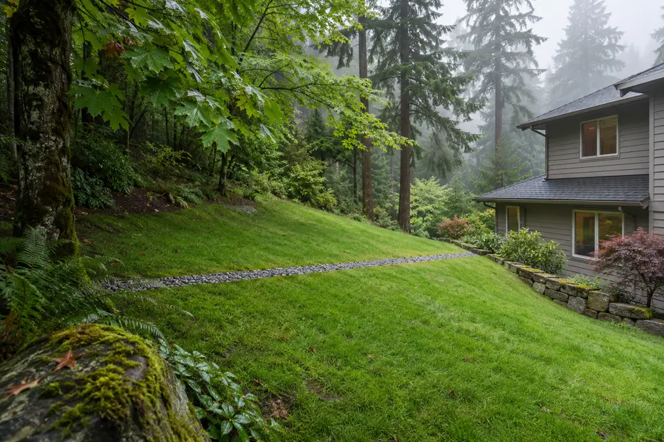
Curtain drains
Trenches across a slope that catch water coming downhill before it reaches the house.
Curtain drains service page →


